Baseline Military Land Navigation
Overview
Baseline Military Land Navigation establishes the fundamental skills required for confident, independent movement over land. The course introduces the core tools, techniques, and concepts that underpin effective navigation, building a working understanding of map, compass, and terrain—and how they interact in real-world environments.
Training is conducted in small groups and structured to progress deliberately through crawl, walk, and run phases. This approach allows students to develop sound habits, reinforce fundamentals, and understand not just what to do, but why it works. The course provides a strong foundation for continued development and pairs naturally with our Advanced Military Land Navigation for those seeking to extend their training.
This training is designed for service members—and those in the recruitment or preparation pipeline, like 18X or SFRE—with little to no land navigation experience, or who need a comprehensive refresher. Most clients are preparing for SFAS, RASP, or GRC selection, while others are pursuing leadership development programs such as ROTC, WOCS, or IBOLC, or getting a jump-start on training they will later receive during Third Phase of BUD/S or at a service academy.
Highlights
When outcomes matter, clients choose True North for the quality of our instruction:
- Built for high-stakes preparation: Our courses are designed for candidates preparing for demanding assessments. Small class sizes and well planned training days ensure focused learning and meaningful development.
- Highly skilled instructors: Training is led by experienced professionals who adapt instruction to the individual, identifying and refining performance areas that matter under assessment conditions.
- Trusted by the SOF community: True North has extensive experience working with the USSOCOM community — both individually and at the unit level — across Army, Marine Corps, Air Force, and Navy components.
- Proven training environment: Instruction takes place in a training area used by the SOF community that provides an ideal learning environment for all skill levels.
- Focused on outcomes, not volume: We intentionally limit class size and instructor-to-student ratios to preserve training quality, accountability, and meaningful performance gains.
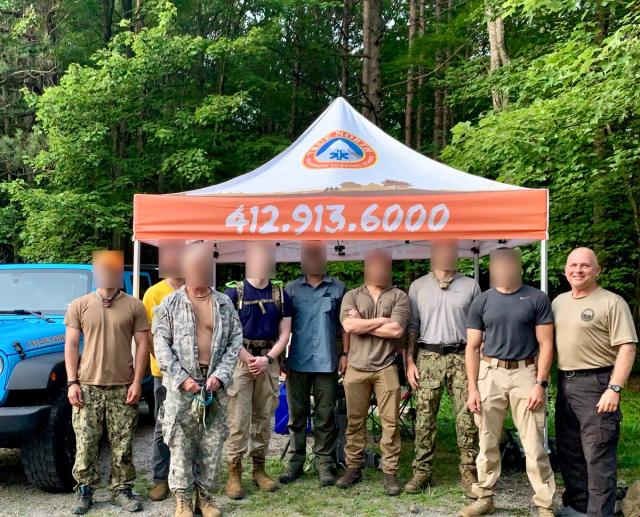
Feedback from Prior Clients
- “I took True North’s Baseline and Advanced Military land nav courses this month and it was a true investment.” – Soldier preparing for OCS
- “In depth, but easy to digest instruction. Followed up with lots of practical practice. Great course and instruction for those wanting to learn the basics and build confidence in their abilities.” – Sailor preparing for SFAS
- “I can't thank you enough ... It was one of the best course experiences I have had, and I learned so much in such an awesome understandable way.” – Soldier preparing for RASP
- "Passed land nav!!! Thanks for everything!" – Marine preparing for BRC
- “I wanted to thank you for your tremendous assistance in getting me comfortable with land nav … this weekend I will be pinning on a 2LT rank.” — Soldier who successfully completed OCS
Related
The course is delivered over two days, with daily sessions running from 0900 to 1600. Training consists of multiple evolutions totaling fourteen (14) hours and covers the following topics:
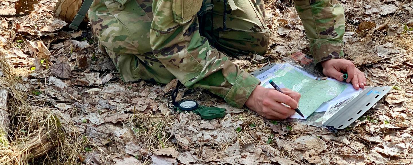
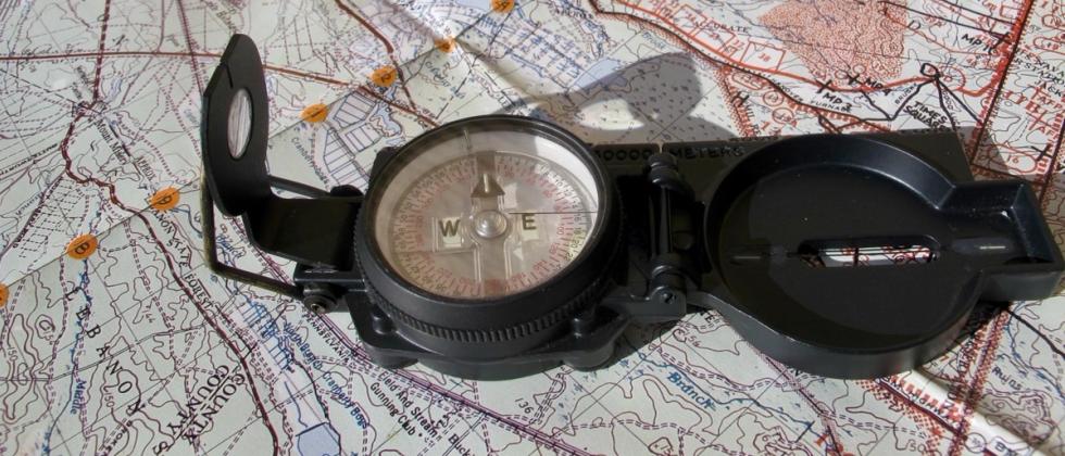
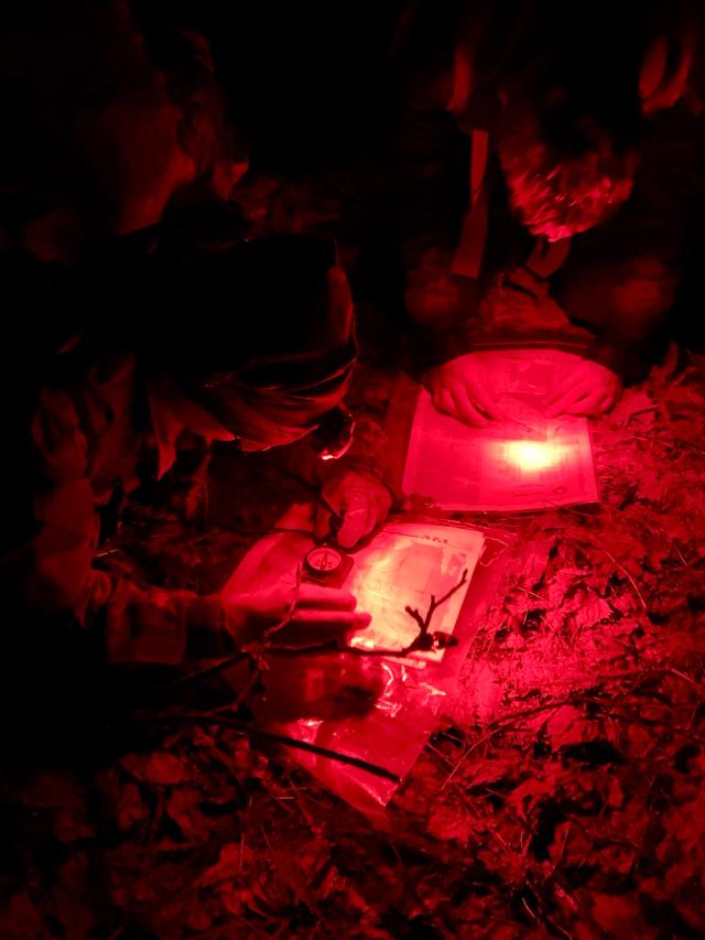
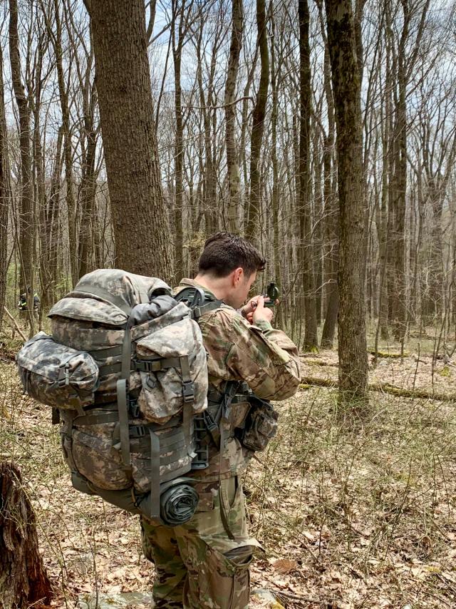
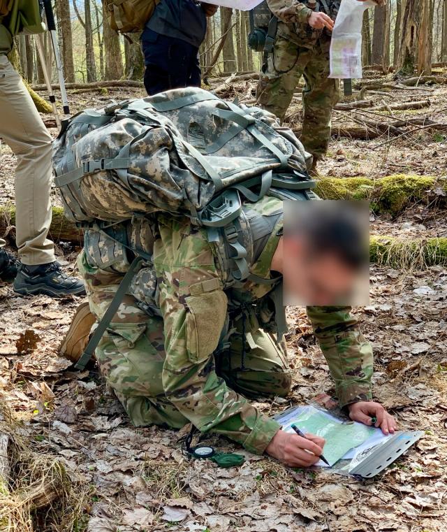
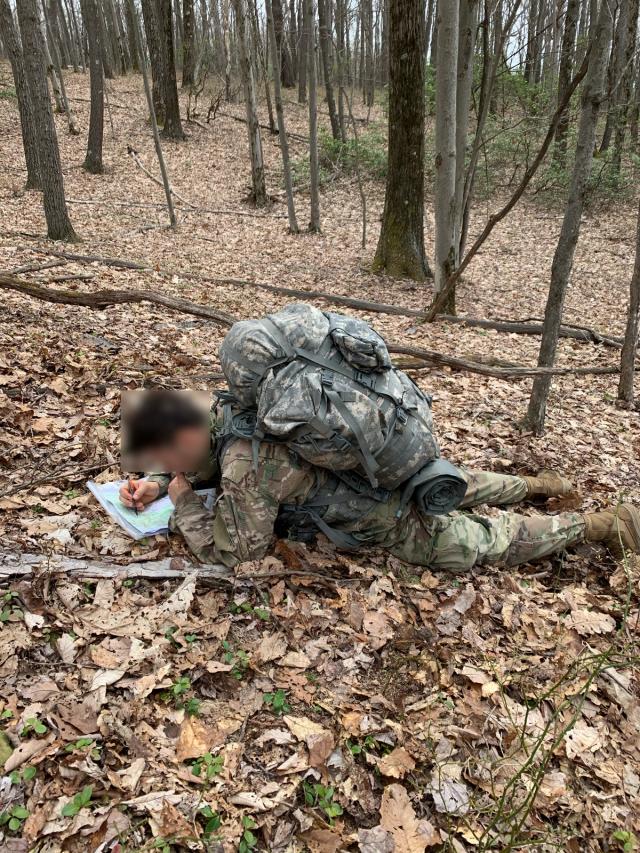
- Gear such as topographic map, compass, and protractor.
- Understanding Declination.
- Navigating techniques using dead-reckoning and the foundations of terrain association and route-planning.
- Tools such as pace counting, backstops, hand-rails, boxing-out, search techniques.
- Navigation psychology.
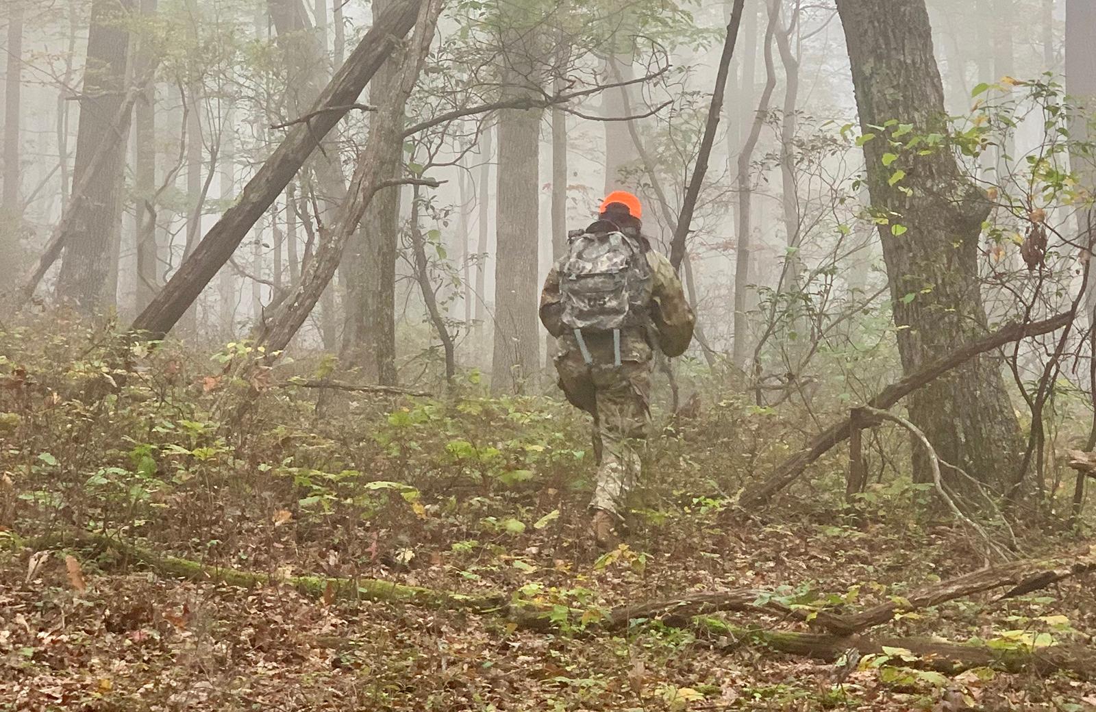
The physical difficulty of this course is Moderate. This course involves walking over varying distances at a steady pace over varying terrain that will include off-trail sections, rough spots, unexpected obstacles, and low to steep terrain inclines and declines. This course is conducted in varying weather conditions, including hot, cold, humid, rain, and snow, or a mixed combination. This course is best suited for those in good physical condition and ready for a fast paced day.
Once you book a slot, then one of our staff will follow up personally with an email. It will include three short forms for you to complete and return to us. We will also send you the course information sheet, which will contain all of the details that you will need to prepare and arrive (like required and optional gear; exact rally point; general driving directions; and overnight recommendations).
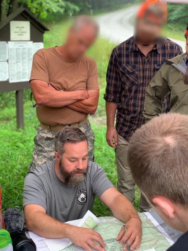
This course is often conducted as a private offering to better accommodate the specific needs, goals, and schedules of an individual or group. Please note that if you see a class on our schedule listed as a “Private Group,” you may still be able to join so don't hesitate to inquire (in many cases, these sessions are scheduled for an individual client who is willing to share the training, which can also reduce overall costs). Please contact Erik for additional details (412.913.6000 or erik@exploretruenorth.com).
We typically reply to emails and telephone calls within 1-2 hours. Please note, however, that it may be as long as 24 hours if we are away teaching.
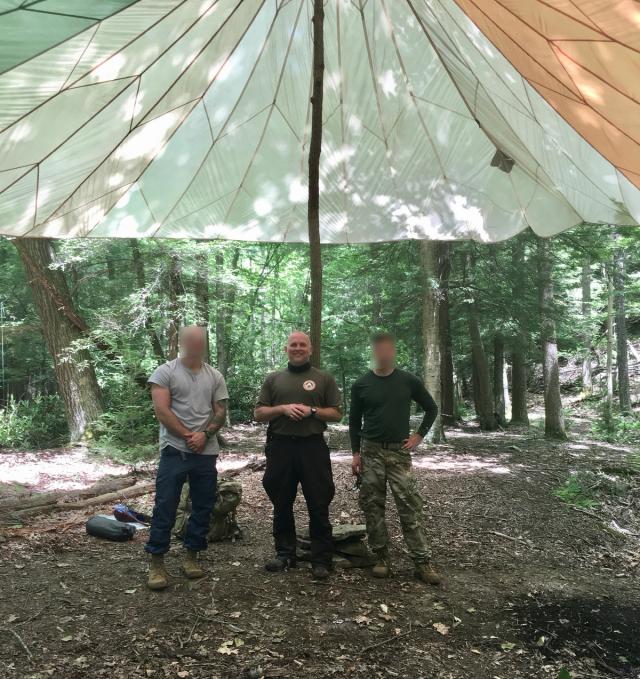
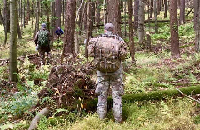
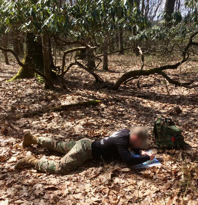
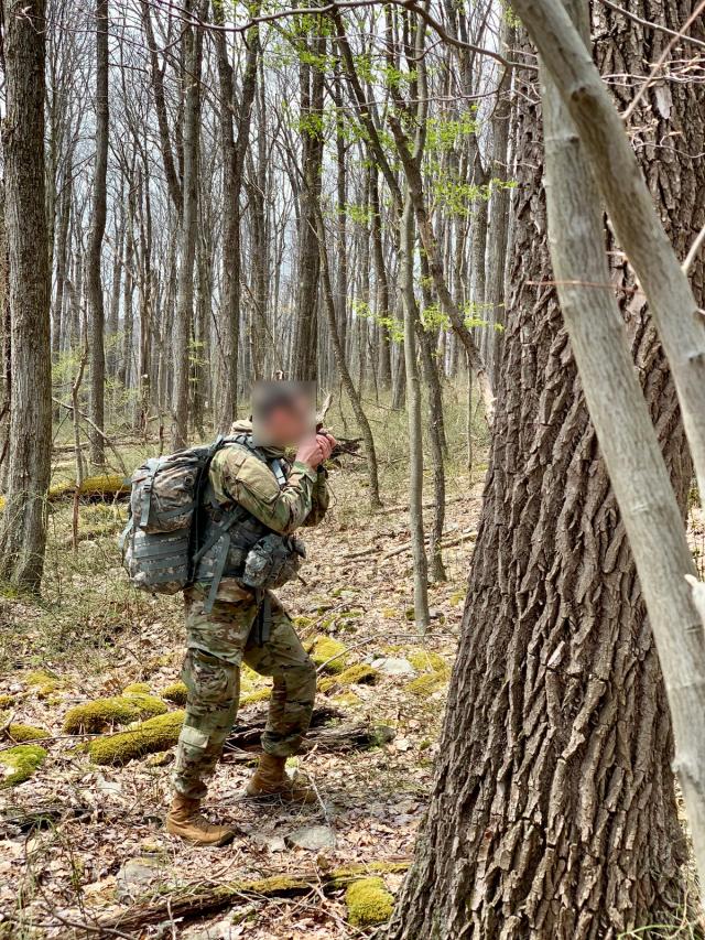
Our training location provides the ideal environment for all skill levels.
Upcoming Courses
- - Multi-DayBaseline Military Land Navigation-Quebec Run Wild AreaFully booked
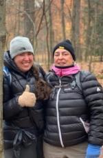
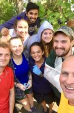
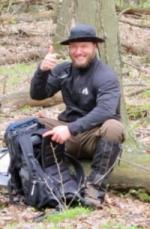
Course Gallery
This course will begin your preparation for the land navigation phase of selection and beyond.
We’re often asked these questions about this course...
Yes, our Mil-Nav Program prepares individuals for the land navigation phase of an assessment and selection course. We provide this training for both individual candidates and units. We’ve worked with most branches and ranks. Many are in an SOF or leadership pipeline, like Special Forces (18X), Ranger, OCS, BOLC, and WOCS, while others are preparing for CAG selection. We also provide instructor development to combat training groups and special mission units.
Our training site provides an ideal learning environment for all skill levels not found anywhere else. The vegetation, terrain, and climate spans the mix from open, easy, and pleasant to dense, strenuous, and harsh. This is why the SOF community uses this same area to conduct their own specialized training and assessment.
This training is open to all sworn law enforcement professionals. We highly recommend these courses for LEOs who are interested in improving their physical fitness and endurance, expanding their skills and mission readiness, or looking to advance their careers by expanding their expertise. Prior clients include federal agents preparing for their agency SOG, members of a state and municipal SRT, Game Wardens, and Rangers.
You will have the choice of using either a Suunto MC-2 orienteering compass or a mil-spec Cammenga lensatic compass supplemented with a protractor. During your training, we will explain the differences and list the pros and cons of each platform so that you can make the best choice for your needs. Most military personnel preparing for a selection and assessment course will need to use the lensatic. If you’d like to use your own, please feel free to bring it.
Ready for an Adventure
Because Mother Nature doesn't care about your skill level. And She doesn't just give up because you've had enough. Get the skills you need to survive and conquer any situation!