New USGS Map Source

Erik Kulick · Jan 27, 2023
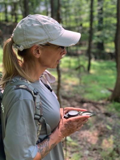
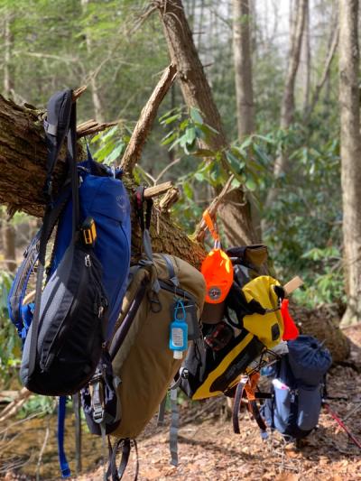
If you spend any amount of time outdoors, whether for work or at play, then having easy access to a map is important. It will help you, not only to get the most out of your adventures or job, but to do so more safely and productively.
If you spend any amount of time outdoors, whether for work or at play, then having easy access to a map is important. It will help you not only to get the most out of your job or your adventures, but also to do so more safely and productively. Whether you are a conservationist, Ranger, or a member of a search-and-rescue team, or if you simply want to hike, camp, or fish off of the beaten path, then you need to know how to use a map.
However, a common problem is finding where to obtain them. Luckily, I’ve a suggestion or two for you to consider.
Overview
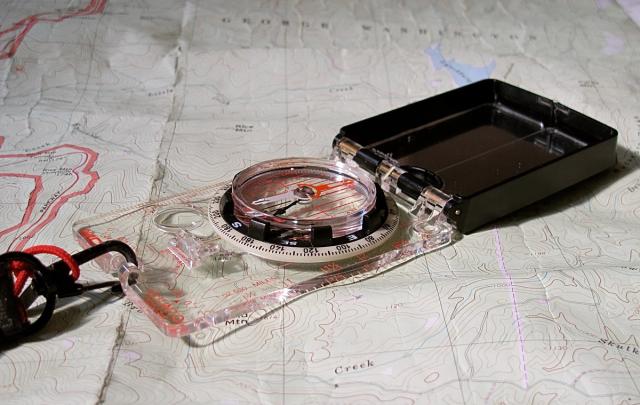
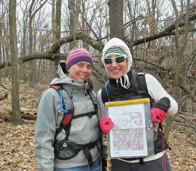
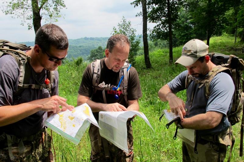
The gold standard in the United States is the 1:24,000 scale topographic map, since it best balances a manageable size of the land area covered against a detailed layout of natural and human-made features, including terrain. With this type of map, you can identify streams, vegetative sections, and open areas, as well as roads, structures, and boundary lines that lay among the surrounding hills, valleys, and plains. In effect, with training and practice, this two-dimensional tool allows you to “see” the world around you in three dimensions.
The primary source for such maps has long been the U.S. Geological Survey, commonly referred to as the USGS. On the upside, its maps have always been high quality as well as very affordable. On the down-side, it has long been a chore to identify which “quad” (that is, the applicable map) that you might need and then to actually get your hands on it. In the “olden days” — that is, 20 years or more ago — you could travel to your local outfitter and hope that they had one in stock, but more often than not, you would need to place an order directly with the USGS by mail.
Thankfully, in the past two decades, these problems have been largely remedied by the growth of technology companies. They now not only allow us almost instant access to topographic maps that we can even print at home, but they also offer maps with a mix of customizable options that allow us to choose a desired coverage area, scale, or preferred coordinate system. For example, I always choose UTM over traditional Latitude-Longitude since it is easy to use and very accurate. But these private sector benefits come with a hitch: much higher costs and even subscription requirements.
Despite what you might think of Big Government, you’ve got to give the USGS credit. After several years of development and testing, they have recently rolled out their topoBuilder. This public web application allows users the ability to create custom topographic maps at no cost.
I’ve only just started to test-drive their site so I cannot yet offer a proper review, but so far, I like what I see. The tool allows easy access to quads, provides the option of combining them as needed, and gives you the option to print at home. However, sometimes it can still feel “clunky” to use. It doesn’t offer many custom features to which I’ve grown accustomed (like UTM), and I have to wait for my chosen map to arrive by email. Despite these inconveniences, it is still a big leap forward and completely free to use.
In the meantime, I will continue to primarily use the source that I have long recommended to all of my clients: Caltopo.com. It is very easy to use and highly customizable, it offers a LOT of options and features in both online and mobile formats, and it is mostly free. That is, for most folks, the free options are all that you’ll need. But if you need access to more features and want to print a lot of different size maps (like me), then you’ll probably prefer a subscription (which is still very reasonable). Combined with their terrific customer service, I’ve become a loyal client.
But options are nice to have, so make sure to check out the USGS.
Meet the Author

Erik Kulick, Founder & Chief Instructor
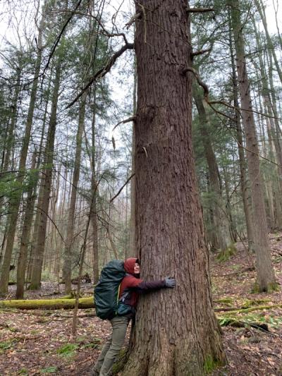
Erik is the founder of True North Wilderness Survival School. He is a police officer, EMS provider, a Wilderness EMT, and a Fellow of the Academy of Wilderness Medicine. He has been featured in national and international media, including CNN, the Associated Press, and Backpacker.
To learn more about Erik, visit him on LinkedIn and be sure to follow him on Facebook and YouTube.