Where to Get Topographic Maps — Free & Professional Sources

Erik Kulick · Dec 7, 2024
Accurate maps are easier to obtain than ever before — but knowing which source to trust matters. Here’s where to find reliable topographic maps and how to choose the right tool for your needs.
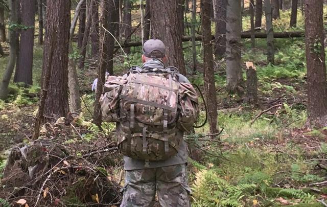
If you spend any meaningful time outdoors — whether for professional work or personal recreation — you need ready access to a reliable topographic map.
A good map does more than prevent you from getting lost. It helps you move efficiently, anticipate terrain challenges, and operate with greater confidence. Whether you are a conservationist, park ranger, search-and-rescue volunteer, hunter, or backcountry hiker, the ability to obtain and interpret accurate maps directly affects both safety and performance.
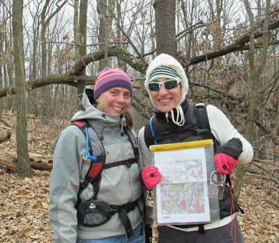
One question I frequently hear in our Land Navigation courses is simple: Where do I actually get good maps?
The Gold Standard in the United States
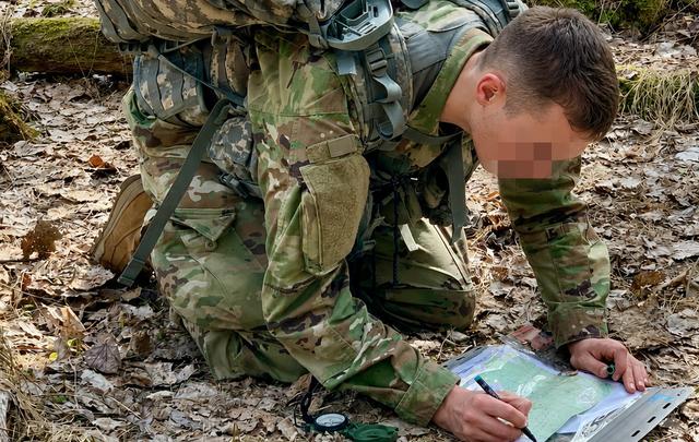
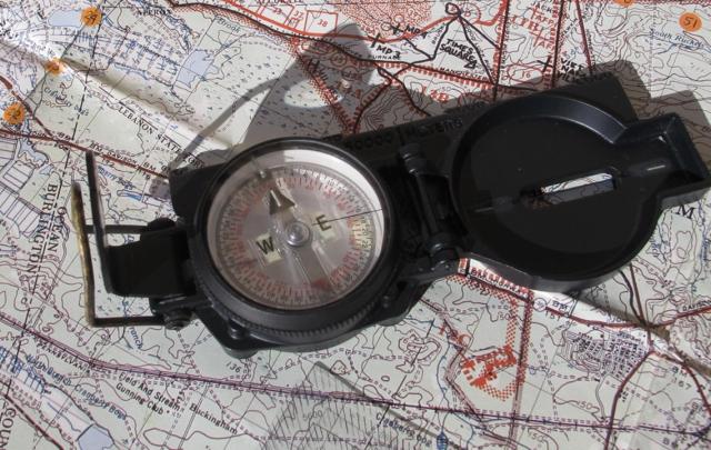
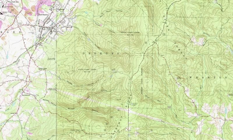
In the United States, the benchmark remains the 1:24,000 scale topographic map. This scale strikes an ideal balance between coverage and detail. It depicts terrain through contour lines while also identifying streams, vegetation changes, roads, structures, and boundary lines.
With training and repetition, this two-dimensional sheet of paper becomes far more powerful — a three-dimensional mental model of the ground around you.
For generations, the primary source for these maps has been the U.S. Geological Survey (USGS). Their cartography set the standard for both accuracy and affordability.
But acquiring the right map used to be more complicated than it should have been. You had to know the correct “quadrangle,” or “quad,” name. Local outfitters might not have it in stock.
Often, you ordered directly from the USGS and waited — for the mail.
Thankfully, that landscape has changed.
The Free Option — USGS topoBuilder
In recent years, the U.S. Geological Survey launched topoBuilder, an online tool that allows users to generate customized topographic maps at no cost.
The advantages are clear. You can:
- Locate traditional quadrangles
- Combine adjacent sheets
- Download printable maps without paying a fee
For many users — especially those who prefer official USGS cartography — this is more than sufficient.
That said, the interface can feel somewhat clunky, and customization options are limited compared to private-sector platforms. Advanced overlays — such as UTM grids — are not always as seamless as experienced navigators might prefer. In some cases, you must wait for the map file to arrive by email.
Still, for a free public resource, topoBuilder represents a substantial step forward.
The Private-Sector Alternative — CalTopo
At the same time, private technology companies have transformed digital mapping access. The platform I have long recommended to clients is CalTopo — sometimes referred to as SARtopo due to its early adoption within the search-and-rescue community.
CalTopo integrates multiple map layers, coordinate systems, printing options, and route-planning tools into a single intuitive interface. Users can customize scale, select preferred grid systems — including UTM and MGRS, which many find more practical than traditional latitude–longitude — and integrate maps directly into mobile devices for field use.
For most recreational users, the free version provides ample capability. Those who print frequently, conduct detailed terrain analysis, or operate in higher-stakes environments often benefit from a subscription — which remains reasonably priced.
Training Is Paramount
Still, there is more to moving confidently in the backcountry than simply possessing a good map.
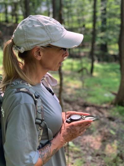
You must know how to read it — and how to use it in conjunction with a compass and other tools and skills.
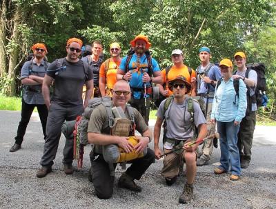
For most clients, our Basic Land Navigation and Advanced Land Navigation courses provide the structured foundation needed to develop those skills.
For those in the military preparing for SOF or leadership assessments, the variables multiply. In those cases, our Mil-Nav Program addresses the higher standards of precision, speed, and stress management required.
Choosing the Right Tool
The encouraging reality is that obtaining high-quality topographic maps is easier today than it has ever been.
If cost is your primary concern, USGS topoBuilder offers official, accurate mapping at no charge. If flexibility, customization, and workflow efficiency matter more, CalTopo is difficult to beat.
Ultimately, the platform matters less than the skill.
Technology provides access — but it is your ability to interpret contour lines, understand terrain, and navigate deliberately that determines success in the field.
Maps are widely available now.
Competence still requires practice.
Meet the Author

Erik Kulick, Founder & Chief Instructor
Erik is a Pennsylvania-certified EMS Instructor, Fellow of the Academy of Wilderness Medicine, and served in law enforcement. He works with individuals and groups across all skill levels -- from beginners to members of the SOF community. He's been featured in national and international media, including CNN, The Associated Press, Backpacker, and The Guardian.
To learn more about Erik, visit him on LinkedIn and be sure to follow him on Facebook, Instagram, and YouTube.